DJI Phantom 4 RTK Drone Seti + Yer İstasyonu
Stok Kodu: DRM00P4RTK002Marka: DJI
Warranty Period: 24 Month

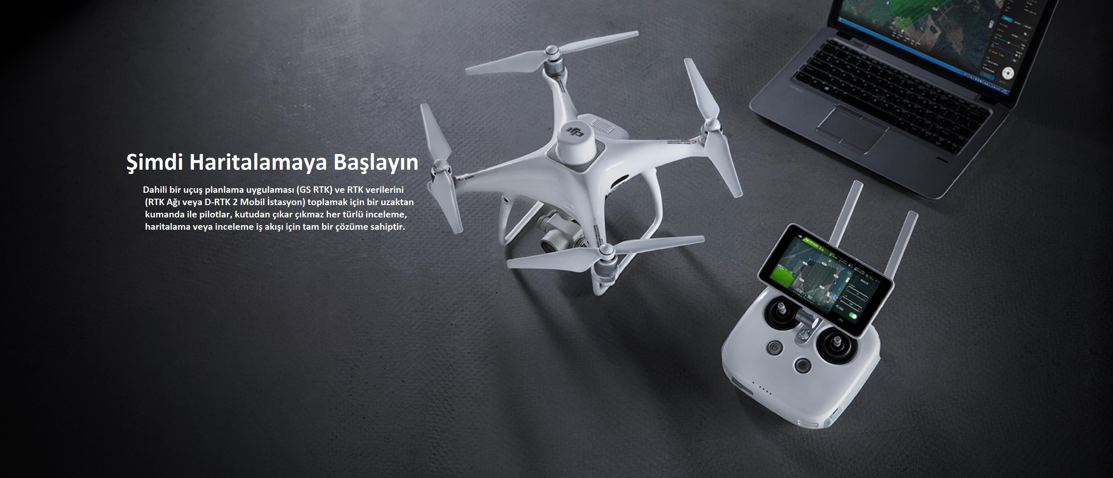
Next Generation Mapping
DJI has reset drone technology and revolutionized its systems to set a new standard in Drone Mapping.
The Phantom 4 RTK provides centimeter-accurate data while requiring fewer ground control points.

1 cm + 1 ppm RTL Horizontal Positioning Accuracy 
Positioning Accuracy 
(* Flying at 100m altitude, 2.7 cm GSD, sunny.) Absolute Horizontal Accuracy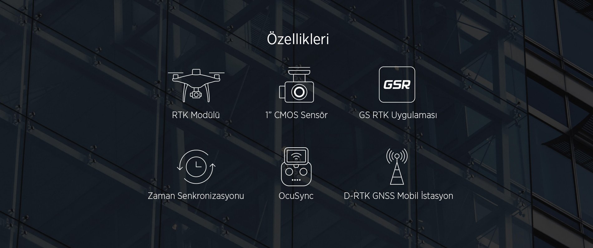
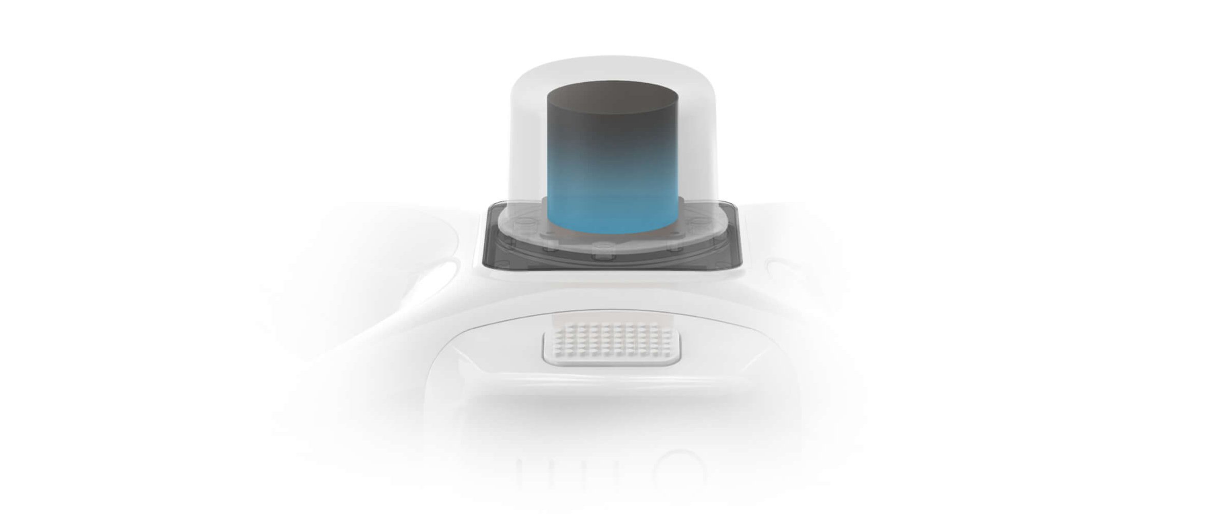
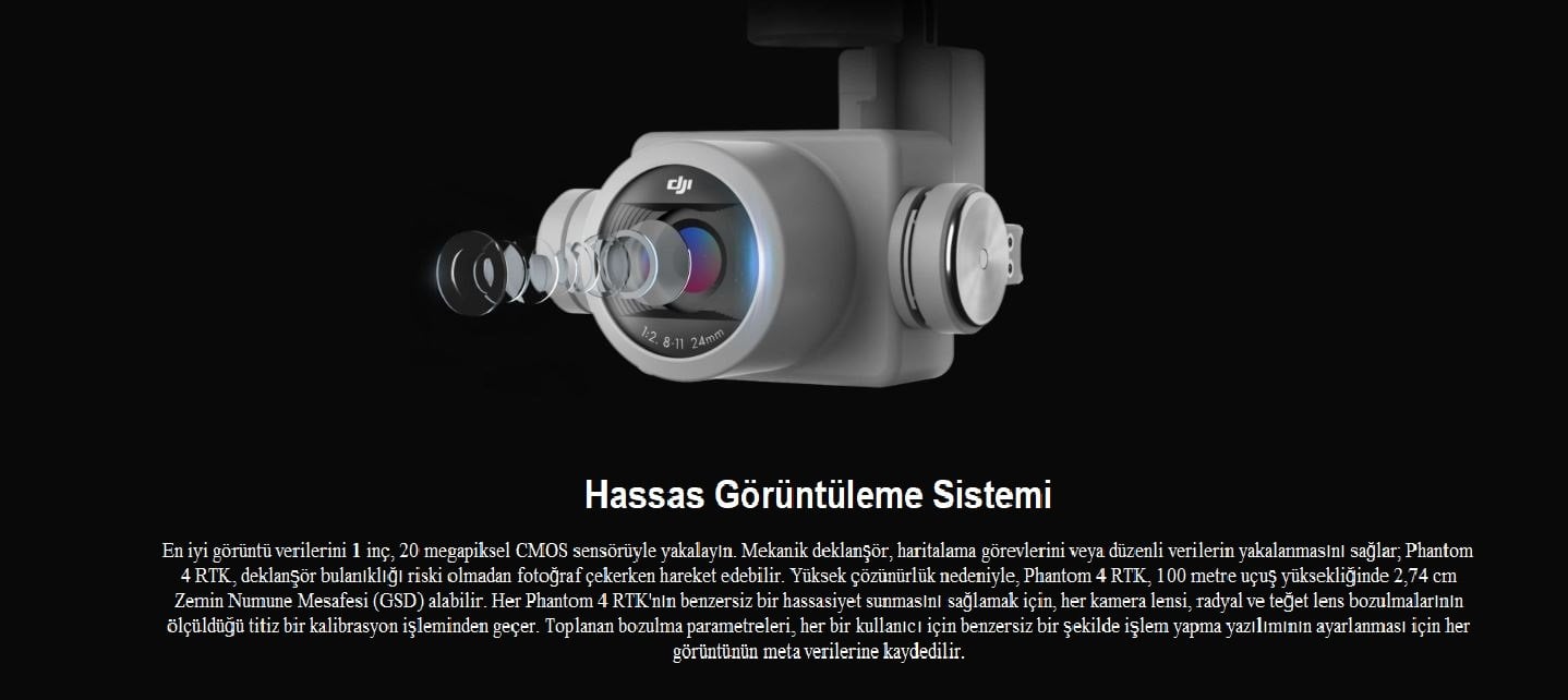
Centimeter Level Positioning System
A new RTK module is integrated directly into the Phantom 4 RTK and provides real-time, centimeter-level positioning data for greater absolute precision in image metadata. Just below the RTK receiver is a redundant GNSS module installed to provide flight stability in areas with weak signals such as busy cities. Combining both modules, the Phantom 4 RTK enables the most complex data to be captured for complex surveying, mapping and inspection workflows, while optimizing the safety of flights.
Plug the Phantom 4 RTK into any workflow so that it can connect this positioning system to the D-RTK 2 Mobile Station, NTRIP (Network Transport of RTCM over Internet Protocol) using a 4G Dongle or WiFi hotspot, or to store satellite observation data Post-Process Kinematics Use for (PPK).
Collect Accurate Data with TimeSync
To take full advantage of the Phantom 4 RTK's positioning modules, the new TimeSync system was installed to continuously align the flight controller, camera and RTK module. In addition, TimeSync ensures that each photo uses the most accurate metadata and fixes the positioning data to the center of the CMOS - optimizing the results from photogrammetric methods and enabling the image to obtain centimeter-level positioning data.
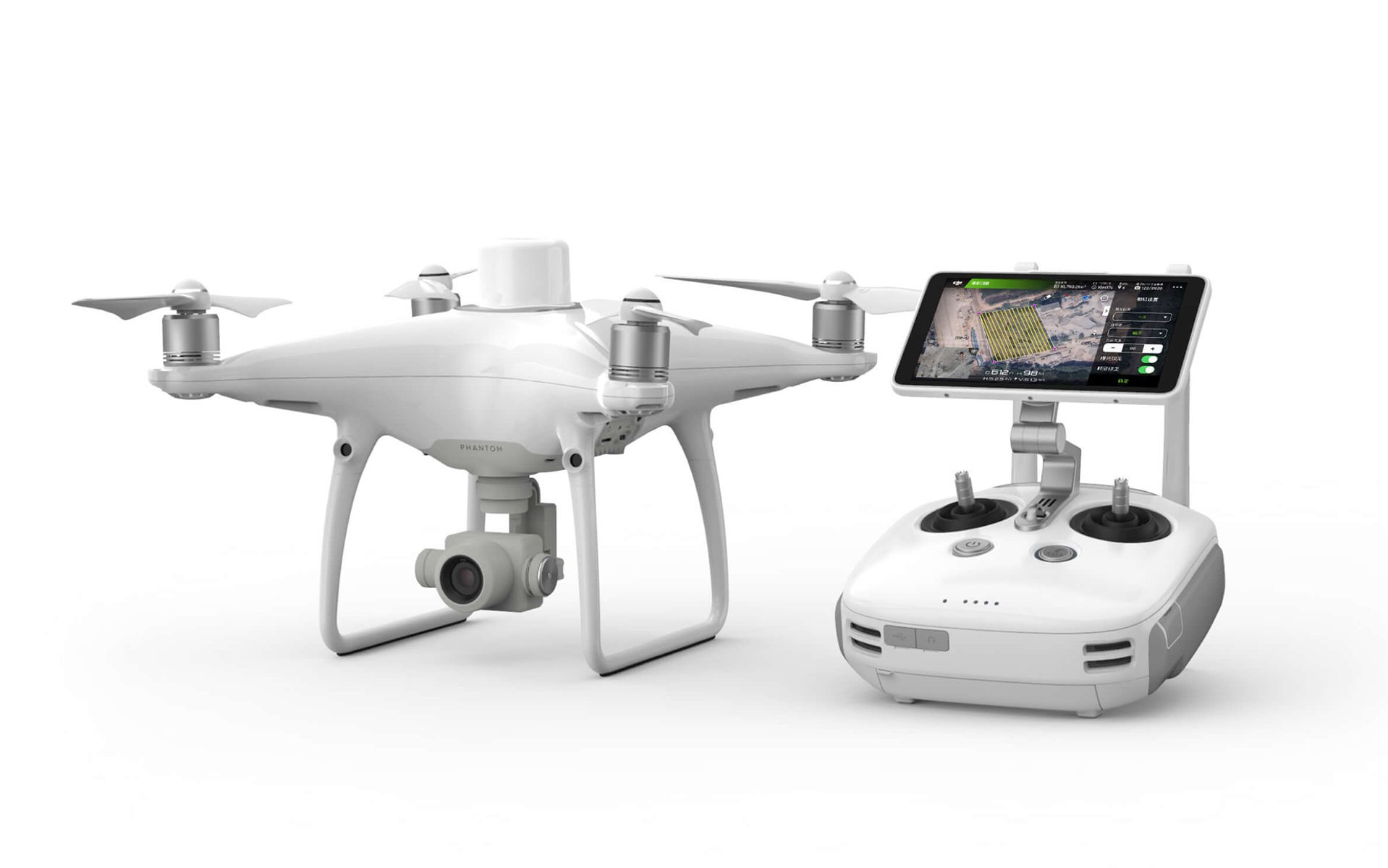
Purposeful Flight Planning Application
Mobile SDK Support
The Phantom 4 RTK is compatible with the DJI Mobile SDK, which automates its functions. You can personalize it via a mobile device.
OcuSync Transmission System
Enjoy stable and reliable HD image and video transmission over distances up to 7km, perfect for mapping larger sites.
* Unobstructed, free from interference when FCC compliant.
Maximum flight range capability is a proxy for radio link strength and flexibility. Always fly your drone within visual sight unless otherwise permitted.